Programme overview
Enter into the highly employable world of surveying and geospatial science, and you’ll enjoy a varied and outdoorsy career that involves interacting regularly with other businesses and sectors.
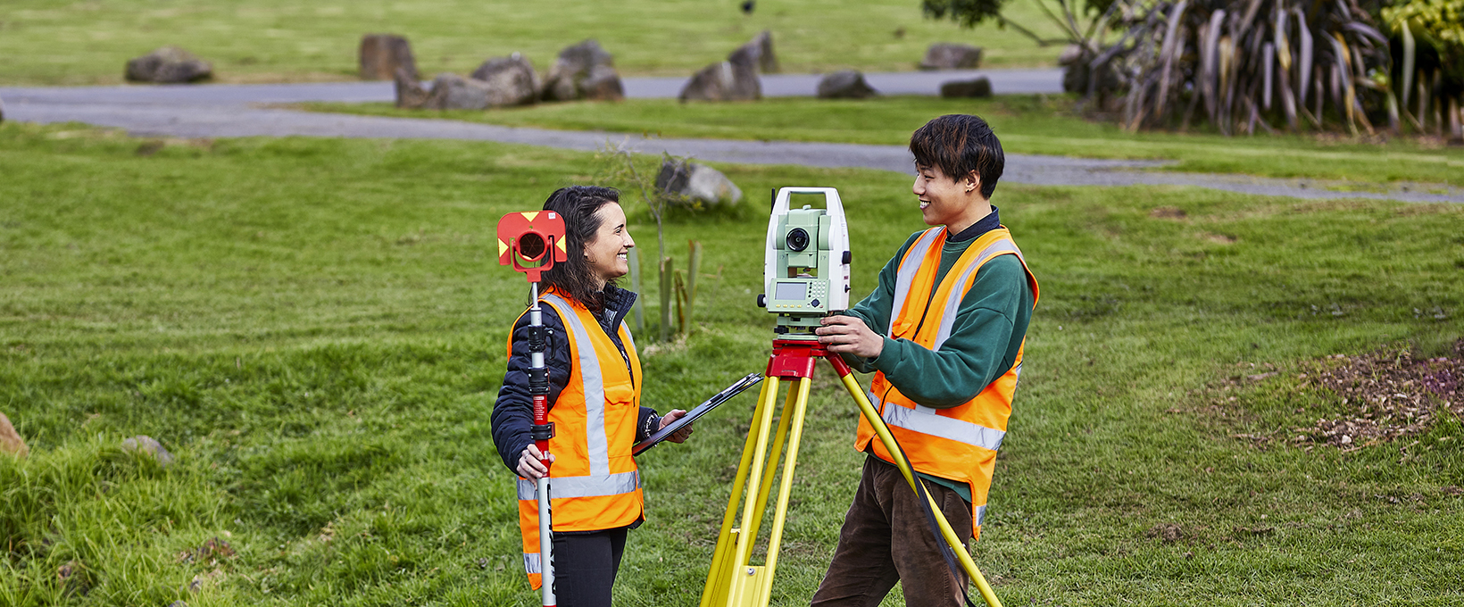
Surveyors have to be skilled in both measurement and resource management. They collect and analyse information about land, water, and other natural resources. They help manage our environment by mapping the earth and the sea floor, establishing property boundaries, and providing accurate data for engineering works.
The New Zealand Diploma in Surveying will develop your knowledge and skills in a wide range of topics, including:
- Geodetic surveying
- Cadastral surveying
- Engineering Surveying
- Mapping
- Computer-Aided Design (CAD)
- Satellite navigation systems
- Geographic Information Systems (GIS)
- Data management and land administration
Highlights
- Unitec's New Zealand Diploma in Surveying is recognised and supported by Survey and Spatial New Zealand. Successful completion of the programme enables you to apply for associate membership to the Survey and Spatial New Zealand.
- A nationally recognised qualification that equips you with the skills to work as a land surveyor
- A highly employable profession in New Zealand
- Emphasis on practical assignments, including a lot of time outdoors
- Access to the latest surveying equipment and technology
- A focus on technology: because surveyors have to be up-to-date with the latest technology, you’ll further your computer skills and learn to use surveying software
- Well-connected to industry: our advisory boards include experts who keep us up-to-date with industry trends and relevant legislation. We’re also well-connected with all the top surveying employers in Auckland who are very keen to employ our students.
Qualification and what's next
Once you've completed this programme pathway, you'll receive the New Zealand Diploma in Surveying qualification.
Required equipment for this programme
For this programme you will need:
- Safety footwear: lace-up steel cap shoes/boots (avoid elastic-sided boots)
- Orange high-visibility vest with zip
- Sun protection: e.g., sun hat as you’re often outdoors
Textbooks are not required. Should you be interested in supporting texts, however, we recommend “Surveying for Engineers,” 5th edition by Uren and Price (also available on load from the Unitec Library)
Admission requirements
You will need the following:
1. 48 credits at NCEA Level 2 in four different subjects including:
- 12 credits in Mathematics (preferably in algebra, geometry and trigonometry) or equivalent
- 8 credits in English (4 in reading, 4 in writing)
High levels of oral, written and interpersonal communications and mathematical skills are required to complete this programme.
2. If English is not your first language, you will need one or more of the following:
- Have achieved NCEA Level 3 and New Zealand University Entrance
- Be able to provide evidence you satisfy our criteria for existing English proficiency
- Have achieved at least one English proficiency outcome in the last two years
Don't meet the requirements? We also accept:
- Provide sufficient evidence to be eligible for special or discretionary admission
For more details, please review the programme regulations (PDF, 281KB).
Courses and timetables
For more details on the courses including timetables, please click on the course names below.
| Courses | Credits | Aim |
|---|---|---|
| Technical Communication (ENCE5201) | 15.0 credits (0.125 EFTS) | This course aims to equip students with technical research skills along with oral, written, graphical and interpersonal communication skills. |
| Land Administration 1 (ENCE5203) | 15 credits (0.125 EFTS) | This course aims to equip students with technical research skills along with oral, written, graphical and interpersonal communication skills. |
| Surveying Drawing Skills (ENCE5206) | 15 credits (0.125 EFTS) | This course aims to equip students with skills in using CAD-based software for land surveying applications. |
| Surveying Mathematics 1 (ENCE5211) | 15.0 credits (0.125 EFTS) | This course aims to equip students with foundational mathematical skills to solve surveying problems and perform computations. |
| Surveying Principles (ENCE5212) | 15.0 credits (0.125 EFTS) | The course aims to equip students with introductory principles of land surveying and safety practices in an Aotearoa New Zealand context. |
| Land Surveying 1 (ENCE5213) | 15.0 credits (0.125 EFTS) | The course aims to equip students with foundational theory and practice in land surveying. |
| Cadastral Surveying (ENCE5214) | 15.0 credits (0.125 EFTS) | This course aims to prepare students to create survey plans within a cadastral system, in compliance with regulatory framework in Aotearoa New Zealand. |
| Surveying Mathematics 2 (ENCE5215) | 15.0 credits (0.125 EFTS) | This course aims to further develop understanding and techniques related to calculations involved in survey practice. |


